10 Tips for Choosing the Right Mapping Solutions
What are the mapping solutions?
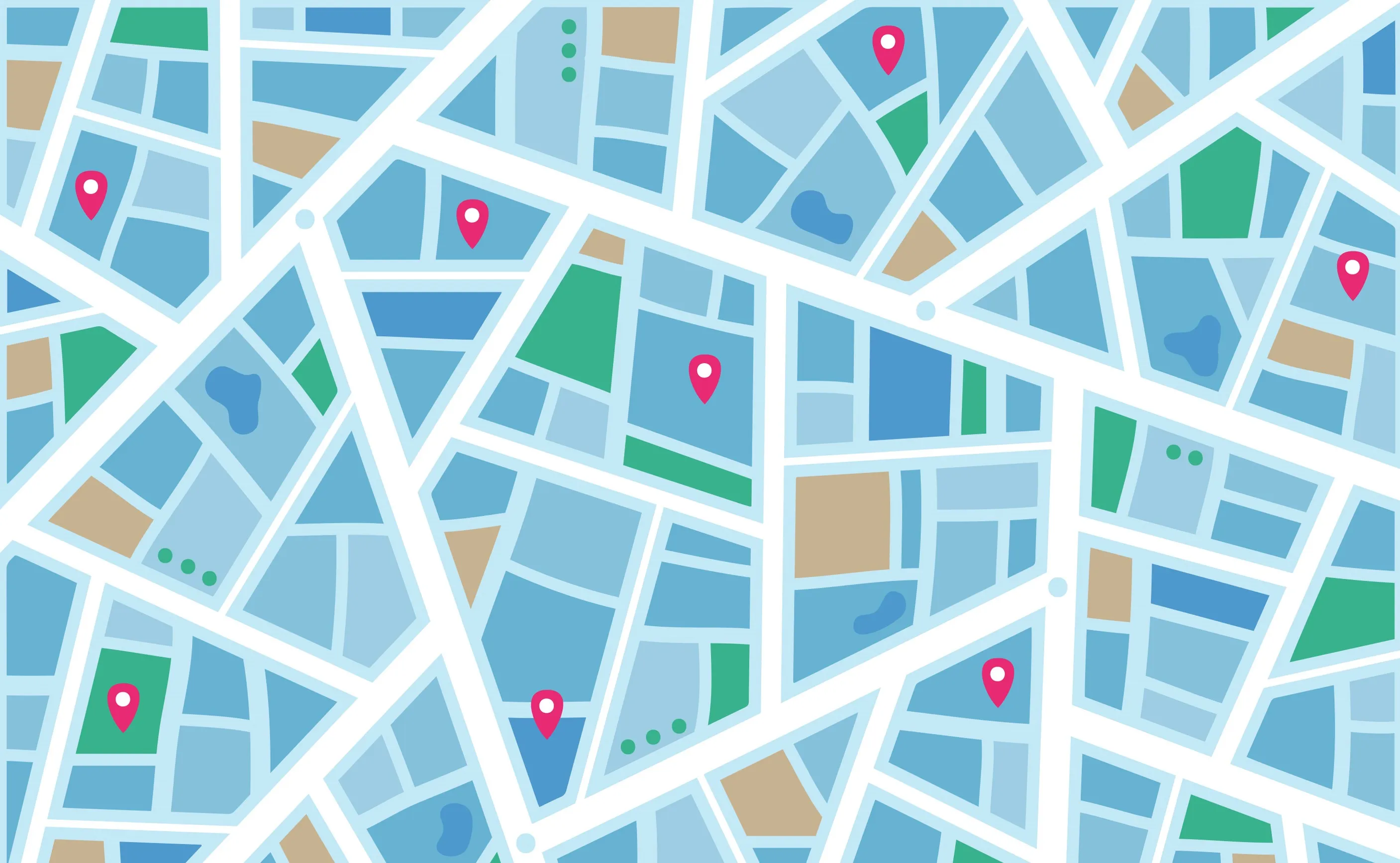
Mapping solutions gis is essential for analyzing spatial data and making informed decisions that rely on a clear understanding of location and geography. Mapping solutions refer to using technology, software, and tools to represent data on a map visually. This type of solution can help individuals and organizations to understand the geographical distribution of data, identify patterns and trends, and make informed decisions based on that information. Mapping solutions can be used in various fields, including business, healthcare, government, transportation, and environmental management. Some standard mapping solutions include geographic information systems (GIS), satellite imagery, and location-based services (LBS).
Different mapping solutions:
- Digital mapping solutions: Digital mapping solutions refer to creating digital maps that can be accessed and manipulated on electronic devices. These solutions may include software tools that help create, edit, and publish digital maps.
- Indoor mapping solutions: Indoor mapping solutions are used to map the interiors of buildings and other enclosed spaces. These solutions can help people navigate indoor environments, locate specific areas, and plan indoor events.
- Geospatial solutions: Geospatial solutions refer to software, tools, and technologies that use location data to provide insights and make decisions. These solutions can be used in various fields, such as urban planning, environmental management, and public health.
- Advanced geospatial solutions: Advanced geospatial solutions refer to more advanced tools and technologies that use satellite imagery, LiDAR, and other advanced sensors to collect and analyze spatial data. These solutions can provide highly accurate information for a wide range of applications.
- Geospatial data solutions: Geospatial data solutions refer to the collection, storage, and management of geospatial data. These solutions may include tools and software for geospatial data analysis, visualization, and dissemination.
- End-to-end geospatial solutions: End-to-end geospatial solutions refer to a complete suite of geospatial tools and technologies that cover all aspects of the geospatial data life cycle, from data acquisition to data analysis and dissemination. These solutions can be used in various fields, such as defense, disaster management, and transportation planning.
10 Tips for Choosing the Right Mapping Solutions
- Identify your needs: Determine what you need the mapping solution for and what data you want to analyze.
- Consider the software: Look for mapping software that is easy to use, has a straightforward interface, and is compatible with your data formats.
- Evaluate your data: Consider the size and type of data you have and ensure the mapping solution can handle it.
- Check for accuracy: Ensure the mapping solution provides accurate information and up-to-date data.
- Look for customization: Choose a mapping solution that allows you to customize your maps to meet your specific needs.
- Check for integration: Make sure the mapping solution can integrate with your existing tools and systems.
- Consider scalability: Look for a mapping solution to grow and expand as your needs change.
- Check for support: Ensure the mapping solution comes with customer support and technical assistance.
- Look for affordability: Consider the cost of the mapping solution and whether it provides good value for money.
- Check for security: Ensure the mapping solution has robust security measures to protect and keep your data confidential.
Which industries that mapping solutions used most
- Transportation and Logistics: Mapping solutions are used extensively in transportation and logistics to optimize routes, track shipments, and manage fleets.
- Urban Planning and Development: Mapping solutions support urban planning and development by providing insights into population density, land use, and infrastructure needs.
- Environmental Management: Mapping solutions are used in environmental management to monitor changes in land use, track wildlife populations, and manage natural resources.
- Public Safety and Emergency Management: Mapping solutions are used in public safety and emergency management to track the location of emergency responders, map evacuation routes, and identify areas at risk of natural disasters.
- Real Estate: Mapping solutions are used in real estate to provide information on property values, zoning, and land use regulations. For example, buyers searching for tiny homes communities Pennsylvania can use mapping tools to identify available properties, analyze neighborhood characteristics, and visualize proximity to amenities.
- Agriculture: Mapping solutions are used in agriculture to optimize crop yields, monitor soil moisture, and manage irrigation systems.
- Retail and Marketing: Mapping solutions are used in retail and marketing to identify target markets, optimize store locations, and analyze consumer behavior.
Different countries’ development in mapping technology
- United States: The United States has been a leader in mapping technology for many years. Companies such as Google, Esri, and Mapbox are US-based and have developed some of the most widely used mapping tools and applications.
- China: China is rapidly developing its mapping technology industry and has invested heavily in satellite-based mapping and location services. Companies such as Baidu and Tencent are leading the way in mapping applications and location-based services.
- United Kingdom: The UK has several mapping technology companies, such as Ordnance Survey, which provides mapping data and software for the UK government and other organizations. The UK is also a leader in the development of indoor mapping solutions.
- Germany: Germany is home to some of the leading companies in the geospatial industry, including Hexagon and HERE Technologies. Germany has also invested in developing 3D mapping technology for urban planning and construction.
- India: India is a rapidly growing market for mapping technology, with companies such as MapmyIndia and HERE Technologies establishing a solid presence in the country. India also invests in mapping technology to support infrastructure development and disaster management.
Technology trends in digital mapping
- Increased use of 3D Mapping: 3D mapping technology is becoming more common in digital mapping, allowing for more detailed and immersive experiences. This technology is instrumental in urban planning, architecture, and real estate industries.
- Integration with Augmented Reality: Digital mapping is being integrated with augmented reality (AR) technology to create new ways to experience and interact with maps. This technology can be used in navigation, tourism, and gaming.
- Greater Use of Drones: Drones are being used more frequently for mapping and surveying applications, particularly in industries such as agriculture, construction, and environmental management. Drone technology enables mapping at high resolutions and in hard-to-reach areas.
- Cloud-Based Mapping: Cloud-based mapping platforms are becoming more common, allowing for easier collaboration and access to mapping data from multiple devices and locations. This technology also makes it easier to scale up or down as needed and provides cost-effective solutions for businesses.
- Use of Artificial Intelligence: Artificial intelligence (AI) is used more frequently in digital mapping to automate image recognition, data analysis, and mapping processes. AI can also improve the accuracy and speed of mapping applications.
- Internet of Things (IoT) Integration: IoT devices such as sensors and GPS trackers are being integrated into digital mapping solutions to provide real-time data on traffic, weather, and other environmental conditions. This data can be used to improve navigation, logistics, and transportation planning.
- Increased Data Sharing: Digital mapping increasingly relies on open and crowdsourced data to supplement existing data sources. This data sharing can help create more comprehensive and accurate maps while fostering collaboration and innovation among mapping solution providers.
- Enhanced Data Visualization: Data visualization is becoming more sophisticated, allowing for more intuitive and interactive mapping experiences. Advanced data visualization tools can help to identify patterns and trends in data, making it easier to draw insights and make decisions based on location data. Data visualization techniques, such as heat maps and scatter plots, enable users to effectively interpret complex datasets, further enhancing the ability to uncover hidden patterns and correlations.
- Mobile Mapping: Mobile mapping solutions are becoming more common, allowing for smartphone and tablet mapping on the go. This technology is beneficial in areas such as field work, emergency response, and tourism.
- Real-Time Mapping and Analytics: Real-time mapping and analytics are becoming more important, allowing businesses to monitor and respond to changes in location data as they happen. This technology benefits the logistics, transportation, and supply chain management industries.
- Use of Big Data: Big data analytics is becoming more important in digital mapping as businesses and organizations seek to extract insights and intelligence from large volumes of location-based data. Big data analytics can be used to optimize routes, identify market trends, and improve customer experiences.
- Integration with Blockchain: Digital mapping is integrated with blockchain technology to create more secure and transparent mapping solutions. Blockchain technology can be used to verify data authenticity and protect against data tampering, making it useful in areas such as land management and property rights.
- Autonomous Mapping: Autonomous mapping solutions are being developed using artificial intelligence and machine learning algorithms to enable drones, robots, and other autonomous vehicles to create and update maps in real-time. This technology is beneficial in industries such as agriculture, mining, and construction.
- Increased Emphasis on Privacy and Security: As location data becomes more valuable, there is an increased emphasis on privacy and security in digital mapping solutions. Businesses and organizations are adopting stricter data privacy policies and implementing better security measures to protect against data breaches and unauthorized access.
- Customization and Personalization: Digital mapping solutions are becoming more customizable and personalized, allowing businesses to tailor maps and location-based services to individual customers and specific industries. This customization can improve customer experiences and drive business growth.